About Us

Two people walking through a snow-dusted, grassy landscape with distant trees and hills under a clear sky.

Nicholas Bugosh

Inspecting a completed GeoFluv landform during a winter tour. Everything forward of the trees on the skyline is GeoFluv land reclamation.

Nicholas Bugosh is the inventor of a new approach to land grading that returns disturbed lands to natural function and appearance, which is known as GeoFluv. In 2009, he formed the company GeoFluv to provide training, coaching, and consulting services in this innovative landform design method. The GeoFluv approach forms the heart of the Carlson Software Natural Regrade module that was released in 2005. Nicholas is also presently the GeoFluv Technical Director for Carlson Software.

He resides in Cleveland, Ohio, and is responsible for the development and promotion of the Natural Regrade fluvial geomorphic landform design computer software module worldwide. Natural Regrade is used across the United States, Canada, South America, Australia, and Europe.

The GeoFluv approach forms the heart of the Carlson Software Natural Regrade module.

Nicholas' training in geology and hydrology includes a Bachelor of Science in Geology and a Master of Science in Earth Sciences. He has conducted field research on bedload transportation in mountain streams, worked for state agencies in South Dakota, Montana, and Idaho with mining and water quality regulation, worked as a hydrologic consultant on projects across the United States, and worked as a Senior Hydrologist for the New Mexico operations of the largest mining company in the world.

GeoFluv Publications and Presentations

Global License Map

Contact us to get started with GeoFluv

A world map with various orange dots marking specific locations, mostly in North America, Western Europe, and Australia.

The Evolution of GeoFluv Design

During his graduate study on bedload transport, he discovered that accepted design methods based on theoretical relationships can produce results that do not agree with observed natural processes (Field verification of predictive bedload formulas in high gradient mountain streams, Master's Thesis, MSU, 1986). Discussions at an American Geomorphological Field Group meeting in 1982 that was hosted by Luna Leopold confirmed to Nicholas that other workers who were active in the field, as well as in the laboratory, were also concluding that accepted methods did not always agree with natural processes. This experience strongly influenced him to observe, measure, and analyze natural processes.

When Nicholas began his professional career working on water quality and land reclamation problems, he was surprised to see how far accepted methods diverged from natural hydrologic principles. In general, the accepted methods viewed flowing water as the problem and sought to control erosion and sedimentation by using various means, e.g., gradient terraces, large-size rock channel linings ("rip-rap"), drop structures, etc., to reduce the discharge velocity. He noted during stream and stormwater sampling events that natural landforms without these sorts of features were capable of conveying extreme storms without excessive erosion and sedimentation. These observations led to an analysis of the essential features that defined stable landforms.

The next step was to develop a methodology to design stable landforms that used measurements of these essential features taken from stable reference landforms near the project area as inputs to the design. The resulting method has been named GeoFluv, adapted from 'fluvial geomorphology', which is literally landforms made by the process of flowing water. The method caught widespread attention when its use was demonstrated for coal mine reclamation, but it is effective for any land-disturbing activity.

GeoFluv is a particular-patented method, adaptable to computer-aided design, for designing landforms that will convey runoff water the way a natural landform would. Nicholas joined Carlson Software in 2003 to make the GeoFluv method into a user-friendly software program, which was released in May 2005. This website describes the GeoFluv training, Natural Regrade software, and GeoFluv design services, and gives examples of applications for various kinds of projects. It also has references and links to GeoFluv Associates that are successfully using and representing the GeoFluv method internationally.

Thank you for visiting GeoFluv.com!

GeoFluv vs the Traditional Approach
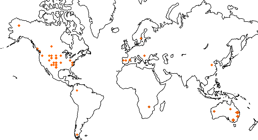
A landscape with green vegetation being watered by numerous sprinklers, set against a backdrop of hills under a clear blue sky.
A mining site with heavy machinery, including an excavator and a truck, working near a large, grassy hill under a clear sky.

GeoFluv Associates

A green background with the words " sandpiper dental supply ".

ABOUT LANDFORMA

Rod Eckels is an Australian surveyor who has been involved in GPS surveying since 1984. From 1987 to 2006 Rod worked for Leica GeoSystems in a range of training, sales, support, and management roles. In January 1997, Rod moved to Torrance, California, where his product management responsibilities were to find new applications for Leica's high dynamic GPS receivers - including Machine Control. In this role, Rod worked closely with Carlson Software, which was developing the user interface and CAD software for some of Leica's range of machine guidance products.

Rod met Nicholas Bugosh in 2003 working on mine reclamation activities at La Plata mine, where Nicholas was applying GeoFluv principles to the reclamation design and Leica was providing the Machine Guidance capability. Rod saw that the GeoFluv solution for landform design combined with the new capabilities of Machine Control provided an excellent solution for a long-standing reclamation problem.

In 2006 Rod returned to Australia and started a range of activities, including lecturing at the Uni NSW in Surveying and consulting activities.

Rod started Landforma in 2009 to promote and support the GeoFluv approach in Australia.

Logo with green hills and a blue river illustration. Text reads "Restauración Geomorfológica Asociados a GeoFluv.

About Restauracion Geomorfologica

Jose Francisco Martin Duque, is a Spanish professor on the faculty of Geological Sciences at the Universidad Complutense (UCM) in Madrid, Spain.

Jose met Nicholas Bugosh in 2009 when Jose asked Nicholas to provide peer review for his project-update paper about a geomorphic-based land reclamation project that he had designed and constructed in Spain. Nicholas participated in Jose's November 2009 UCM seminar and explained the GeoFluv method. Jose introduced a Masters level course in 2010 that incorporated the GeoFluv design method using Natural Regrade. Since then, Jose's students have used the GeoFluv method and Natural Regrade in their Master's theses and PhD dissertations.

In 2014 Jose started knowledge-transfer university group Restauracion Geomorfologica to provide GeoFluv method training services. He collaborates with scholars internationally and has authored professional papers about GeoFluv and supports users in Western Europe and Spanish-speaking areas in Central- and South America.

Logo for Mining Resource Consulting featuring an excavator graphic.

About Mining Resource Consultants

Eugene Schutte is the Principal of Mining Resource Consultants (MRC) based in Ermelo, South Africa. Eugene has over 34 years of experience in the mining industry in both opencast and underground. His portfolio ranges from risk assessment, to operations management, to corporate mine management, mining engineering, and more. Having worked in coal, base metals, nickel, gold, and zinc, Eugene possesses a diverse knowledge of functions and systems.

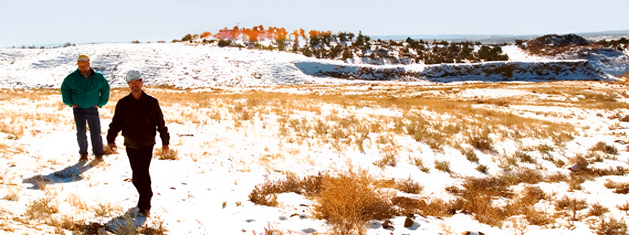
Nicholas Bugosh provided Eugene with in-the-field training in South Africa in 2018 for methods to collect the site-specific fluvial geomorphic reference area landform characteristics that are Natural Regrade input values. They applied the input values to make alternative reclamation designs for a South African coal mine site.

Eugene became a GeoFluv Associate in 2019, and he promotes and supports the GeoFluv approach for all of Africa.

A black and white logo of vast landscape architecture.

About VAST

Matt Baida is a landscape architect with an education in Australia and over ten years of experience working in both Australia and Sweden. He was awarded a Churchill Memorial Trust Travelling Fellowship, which enabled him to conduct international research on the structural transformation of post-mining landscapes and their impact on communities.

Matt specializes in regional planning and development projects, particularly in geomorphic design and post-mining land-use initiatives that emphasize social outcomes. He primarily works as a consultant for mining companies, managing and delivering post-mining land-use projects that include community consultation and facilitation.

His skill set, knowledge, and background as a landscape architect allow him to effectively balance environmental and social needs with economic interests in his projects. Through his experience, Matt has learned that understanding the complex social and environmental systems unique to each site can inspire richly layered landscapes that support ecological and cultural production.

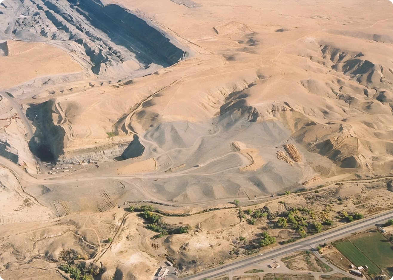
Recent Reclamation Projects

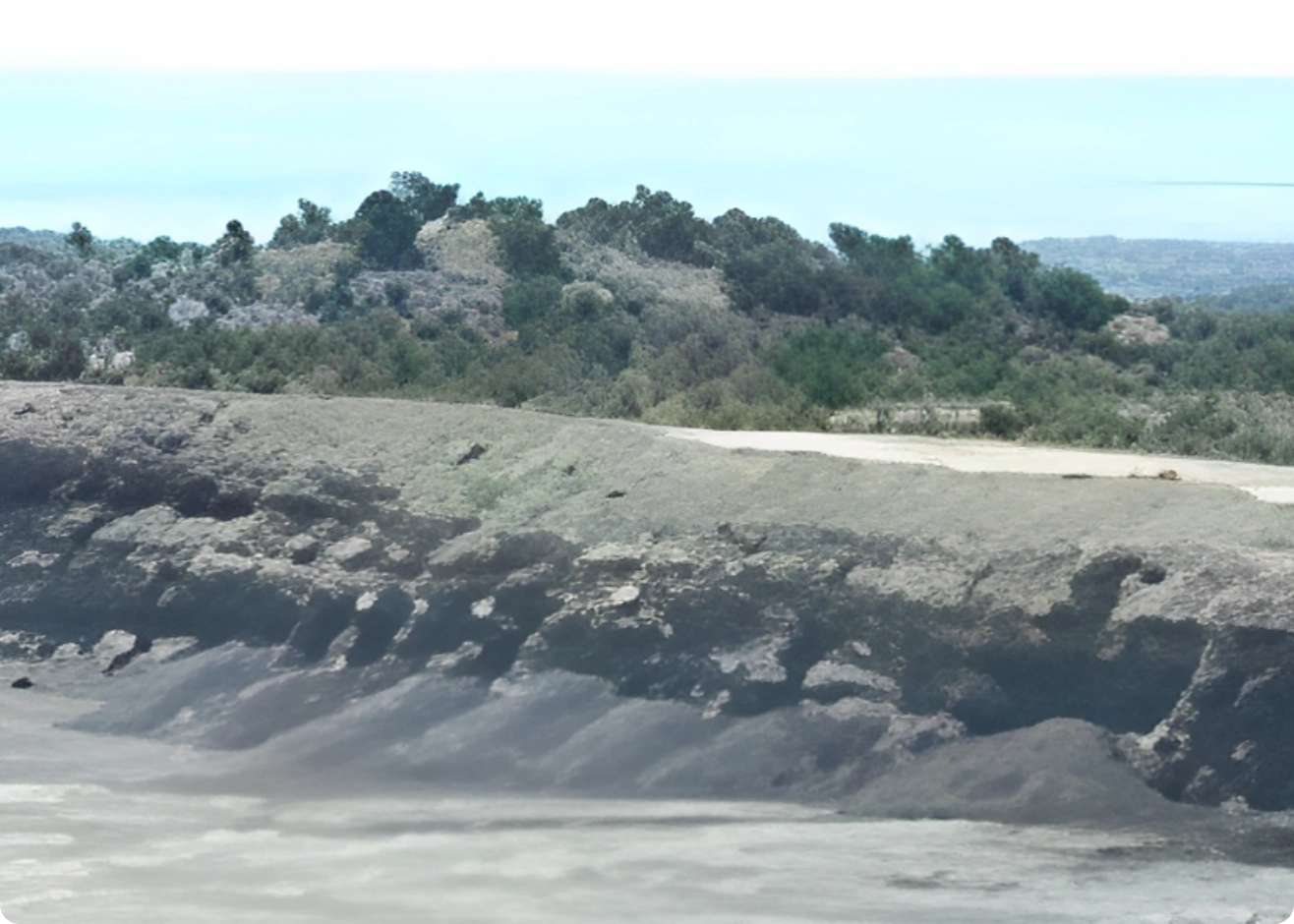
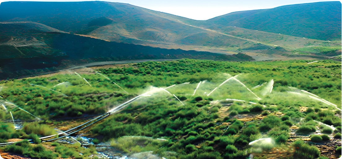
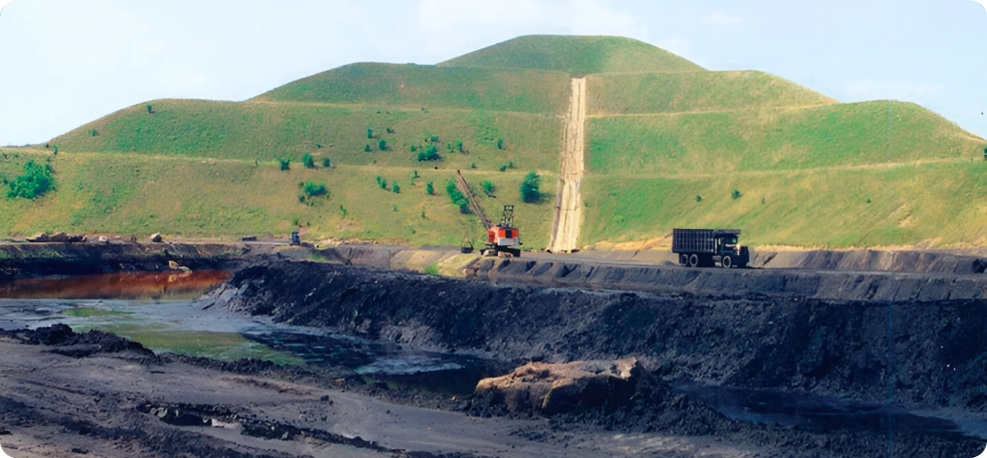
See how GeoFluv designs provide a natural-looking landscape composed of separate sub-watersheds having complex slopes that transition from convex to concave profiles, and include valley wall swales to convey runoff water to stream channels that have the required cross-sectional profiles to handle variable flows. No artificial contour banks and rock drains are required.

Landscape Design

Dragline Coal Mine Reclamation

Truck and Shovel Coal Mine Reclamation

What is GeoFluv?

Makes a Naturally-Functioning Landscape

The GeoFluv approach recognizes the critical importance of natural landforms as the basis for successful land rehabilitation.

Appears as a Natural Landscape

Natural landforms developed over thousands of years through water erosion. They are generally considered “stable” when further erosional changes are imperceptible. Natural-looking GeoFluv landscapes are pleasing to the eye and well-accepted by the community.

Stable Landform That Does Not Require Long Term Maintenance

The GeoFluv™ approach incorporates the key landscape characteristics of a site to design a surface that functions like the stable landforms surrounding it.

Landscape Variability Promotes Biodiversity

GeoFluv landforms have niches with varying sunlight and water harvesting similar to natural undisturbed lands that help to re-establish local flora and fauna.

Files Suitable for Use With GPS-Guided Machines

The final surface design files can be directly uploaded to GPS-guidance on construction machines to minimize the need for survey and stake-out and optimize construction efficiency.

Water Run-Off in Surrounding Streams Meets Environmental Requirements

GeoFluv™ landforms that mimic adjacent undisturbed lands can cope with the range of rainfall and water discharge events that may occur and are proven to provide similar water quality. Design inputs taken from landforms exposed to thousands of years of changing climate yield reclamation landforms suitable to wide climate variability.