Training - Level Four

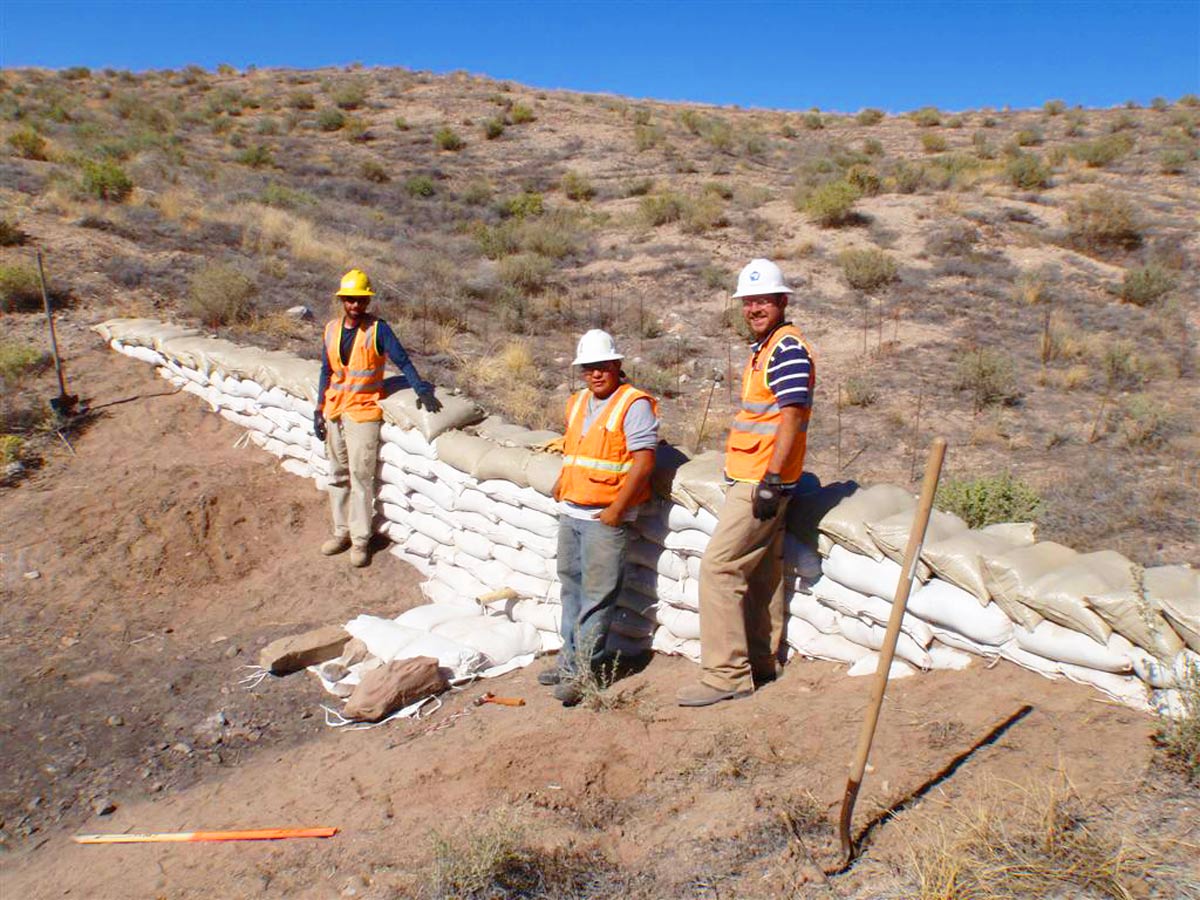
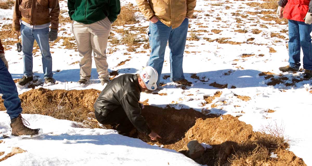
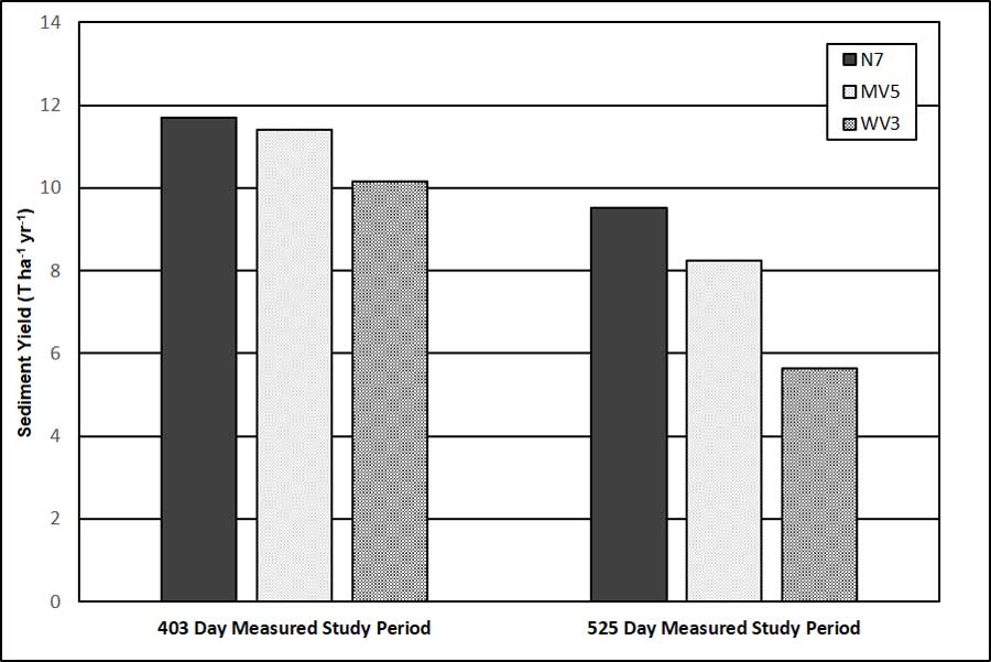
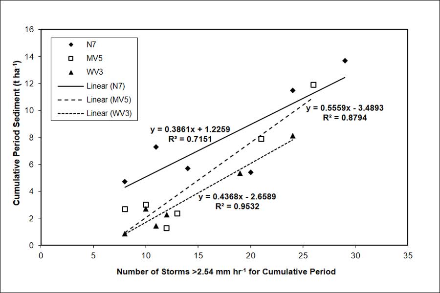
Level 4 Training/Coaching helps the user understand, design, and use qualitative and quantitative methods to verify their reclamation project is functioning as designed. The methods range from taking observations while walking the constructed reclamation to high-level, multi-year studies. The verification results can be used for various purposes. The purposes can be to improve site-specific designs and construction methods, to satisfy regulatory monitoring and reporting requirements, to establish that performance bond criteria have been met, and other similar performance verification needs.

Level Four training is appropriate for those, whether project or regulatory staff, who intend to inspect and evaluate constructed GeoFluv landform designs for meeting performance criteria that will verify erosion resistance and long-term sustainable land use.

Three construction workers in vests and helmets stand beside a wall of sandbags on a dry, hilly terrain under a clear blue sky. A shovel is on the ground nearby.
A group of people in jackets and gloves gather around a small hole in snowy terrain, observing a person in a helmet kneeling and examining the ground.

Subjective Inspection to Quantification

Level Four Training ranges from explaining and demonstrating how to subjectively evaluate that designed reclamation landforms, like the small channel at left, are performing to design criteria to methods that were used in internationally peer-reviewed quantification studies that have verified that the sediment yield from GeoFluv reclamation in the most erosive environment is similar to adjacent undisturbed native land.

GeoFluv Sediment Yield Quantified

The results of what is believed to be the only study to actually quantify sediment yield from reclaimed land and compare it to adjacent undisturbed land are summarized in the graph and regression lines developed from the study data. All sediment transport from three matched watersheds was captured allowing quantification (not an estimation from a sediment-prediction formula) from native land (N7), GeoFluv design with minimal vegetation (MV5), and a well-vegetated GeoFluv site (WV3); the results demonstrate that the GeoFluv reclamation sediment yield is similar or less than the adjacent native land. Results like these can be used to establish sediment-control measures, set monitoring requirements, confirm that bond release is appropriate, and other project needs.

Bar graph showing sediment yield in tons per hectare per year for N7, MW5, and WW3 over two study periods: 403 days and 525 days.
Scatter plot with linear trend lines showing cumulative period sediment (tonnes per hectare) versus number of storms >2.54 mm/hr. Includes equations and R² values for N7, MV5, and WV3 data sets.