
The inability to meet or mitigate these changes caused by the proposed reclamation landform can even stop land development activity from proceeding. A new, natural approach to landform grading called GeoFluv offers a cost-effective alternative that can satisfy the reclamation criteria.
The GeoFluv design approach can offer: greater stability against erosion, greater opportunities for plant and animal diversity, lower construction and maintenance costs, and promotion of successful bond release, as compared to traditional reclamation landform design methods.
Featured GeoFluv Solutions

More GeoFluv Solutions

Abandoned Coal Mine Reclamation
The Log Creek Church AML Sites 900 & 2040 were put out to bid as both traditional and GeoFluv designs made using. . .
Log Creek Church
The Log Creek Church AML Sites 900 & 2040 were put out to bid as both traditional and GeoFluv designs made using Natural Regrade. Two of the three bids were lower for the GeoFluv designs, by 10 percent on average. The site was constructed using survey and stake-out and was distinguished by the Department of the Interior as “The Mid-Continent Regional Award” in October 2008 at the National Association of Abandoned Mine Land Programs national meeting.
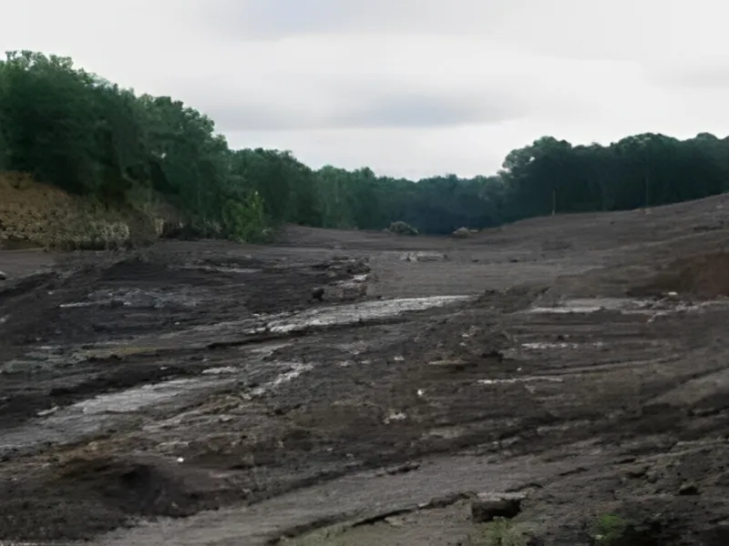
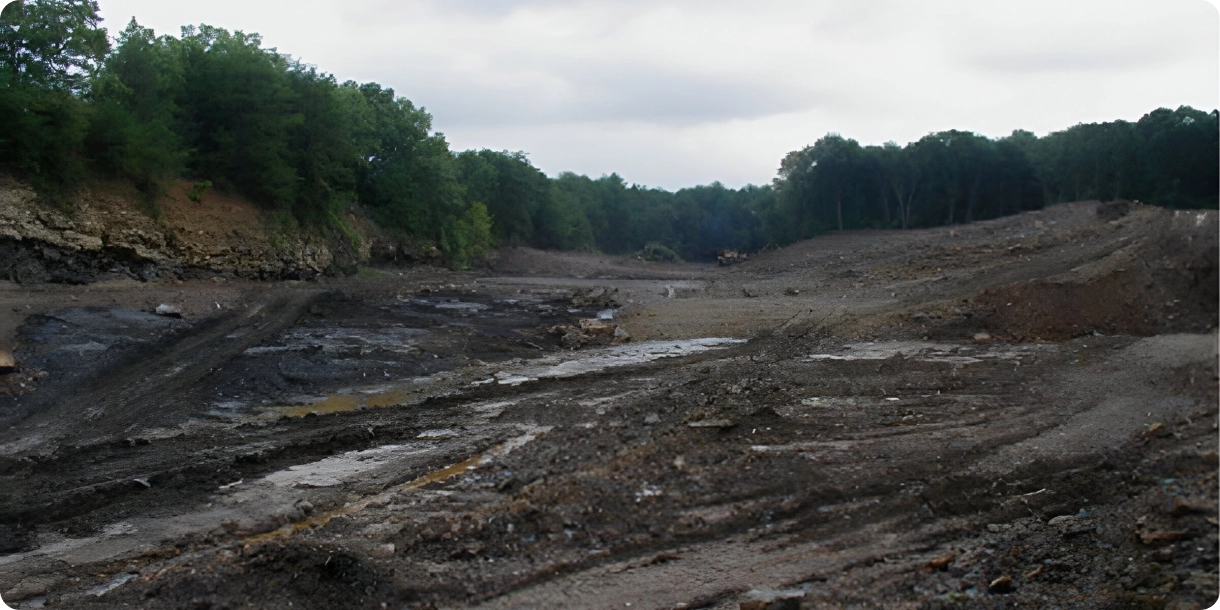
Over one hundred years of surface mining left dangerous near vertical high walls and a devastated landscape within yards of a mid-eighteenth century church and a heavily traveled county road. Acid mine drainage from exposed sites was extensive and complicated by the use of coal and coal waste to construct haul roads.
GeoFluv Results
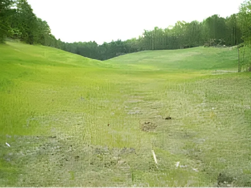
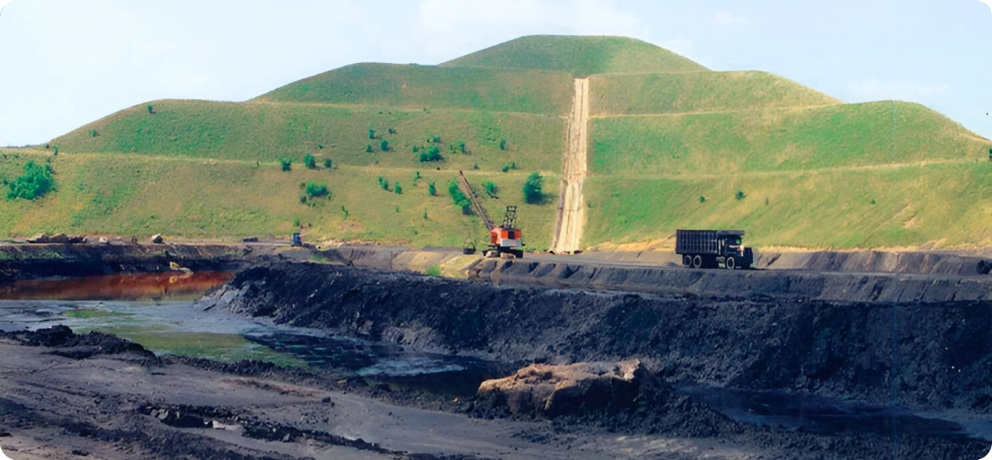
At Log Creek Church, over 70 acres of acid producing waste has been sequestered, forested wetlands are established and, using geomorphic modeling, sustainable stream channels and drainage areas are in place, while four thousand feet of highwall have been replaced with natural slopes.

Civil Road Side Drainage Correction
A large industrial facility's access road was graded using conventional roadside ditches that intersected many small. . .
Runoff & Erosion
A large industrial facility’s access road was graded using conventional road side ditches that intersected many small channels and then collected and conveyed the combined runoff to another point for discharge. The concentrated flows were causing ditch erosion and the discharges were contributing sediment to the receiving streams.
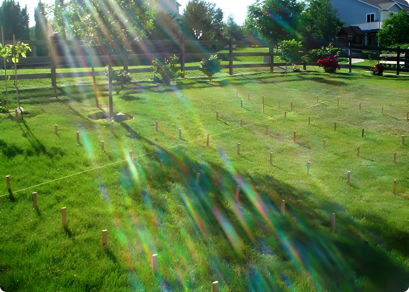
The facility chose to correct both the erosion and sediment discharge problems with a GeoFluv design that also presented a more pleasing, natural view to visitors as they approached this world-class facility.
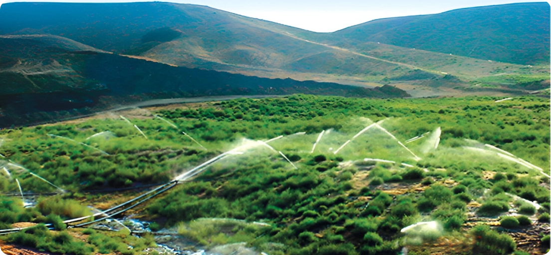
This roadside ditch was eroding and causing sediment discharges, and was not visually appealing. (Image courtesy of Water & Earth Technologies, Fort Collins, CO.)
Final Result
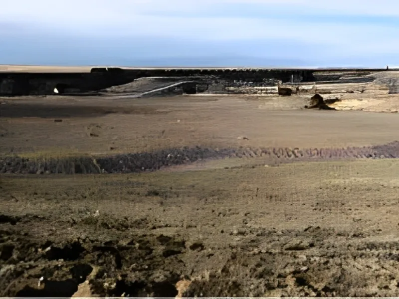
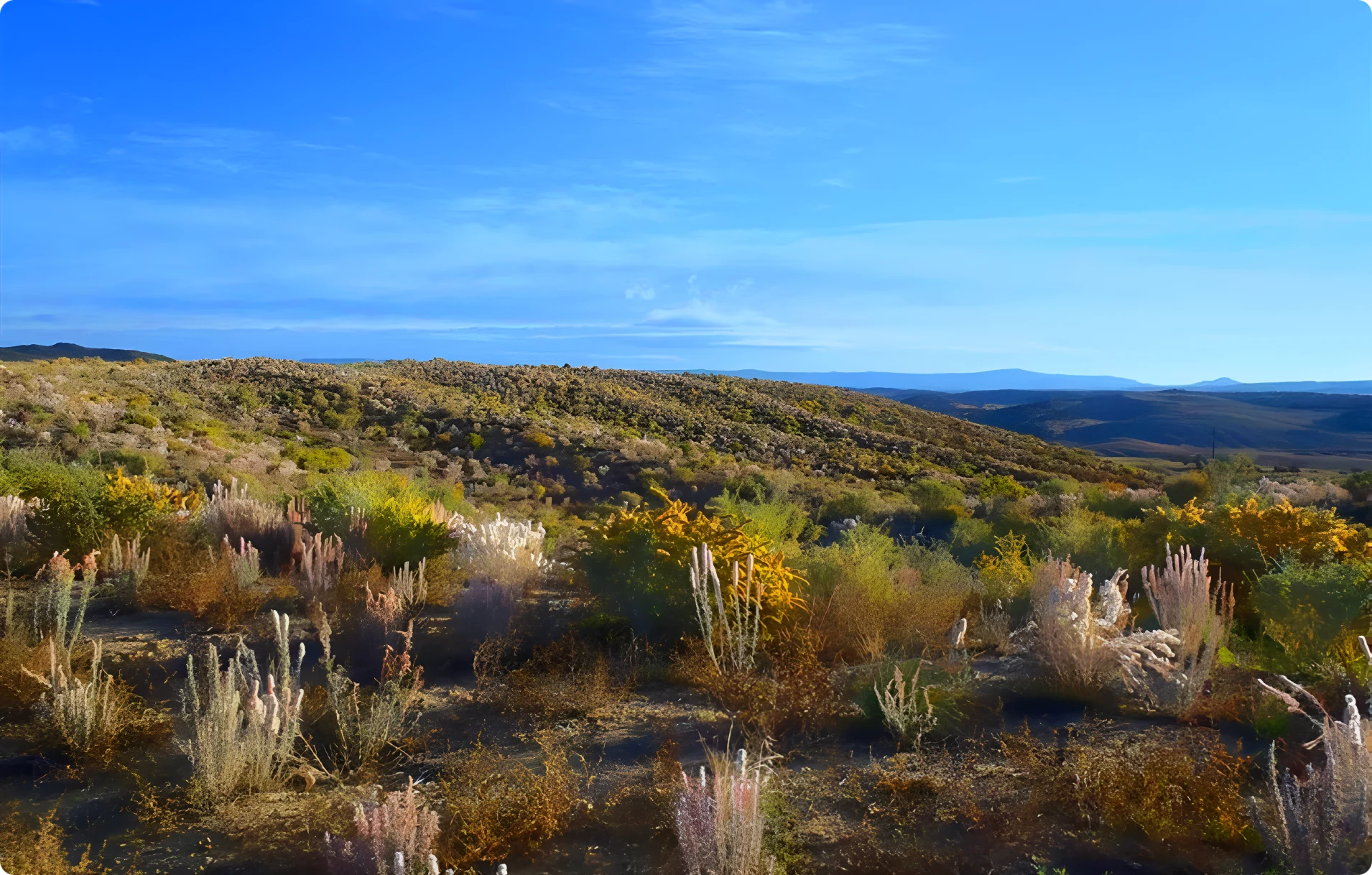
This view of the same road side area as shown above was taken immediately after grading to a GeoFluv design; notice how much more closely it blends in with the natural landforms. (Image courtesy of Water & Earth Technologies, Fort Collins, CO.)
The consultant provided GeoFluv designs for the roadside area that returned the drainage pattern to a more natural and stable configuration. This provided erosion and sedimentation ‘control’ by returning these landform functions to values similar to natural land in the area, and also provided a much more visually appealing drive for the facility visitors.

Hard Rock Quarry Reclamation
A frustrated quarry operator looked to a GeoFluv design solution to lower construction and maintenance costs. . .
Limestone Quarry Reclamation
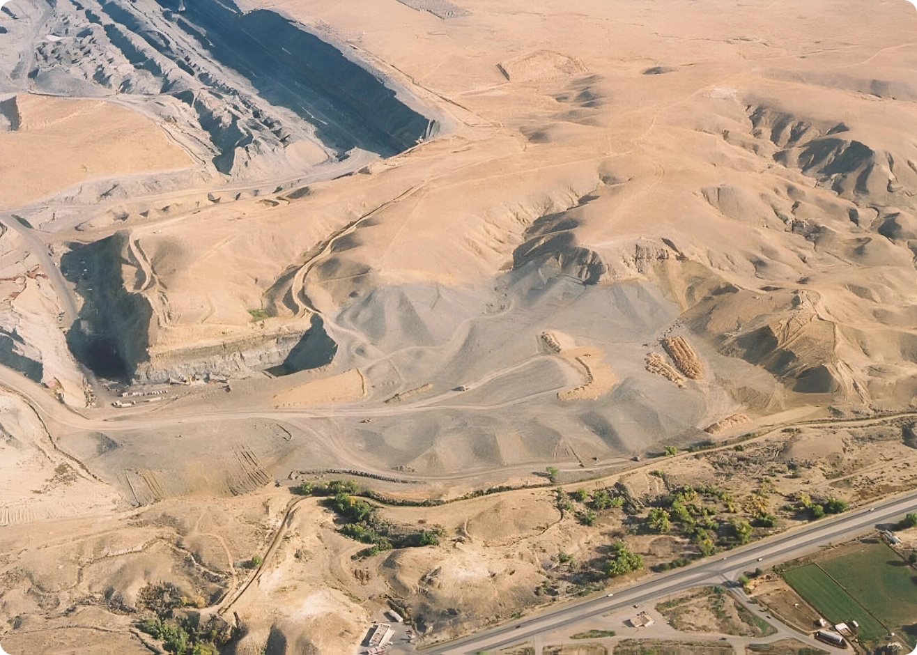
A frustrated quarry operator looked to a GeoFluv design solution to lower construction and maintenance costs from repeated failures of traditional terrace, berm, and down-drain reclamation. One side of the ridge-top quarry drained to waters on state lands, while the other side drained to waters on federal lands. All parties wanted a functional and sustainable solution.
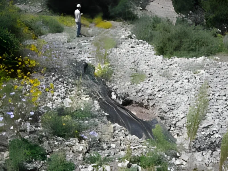
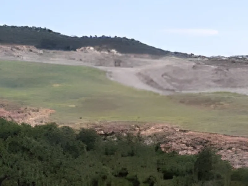
An example of a failed traditional design using geotextile and rip-rap downdrains for which a GeoFluv design provided a low-cost, functional, and sustainable solution. (Image courtesy of Water & Earth Technologies, Fort Collins, CO.)
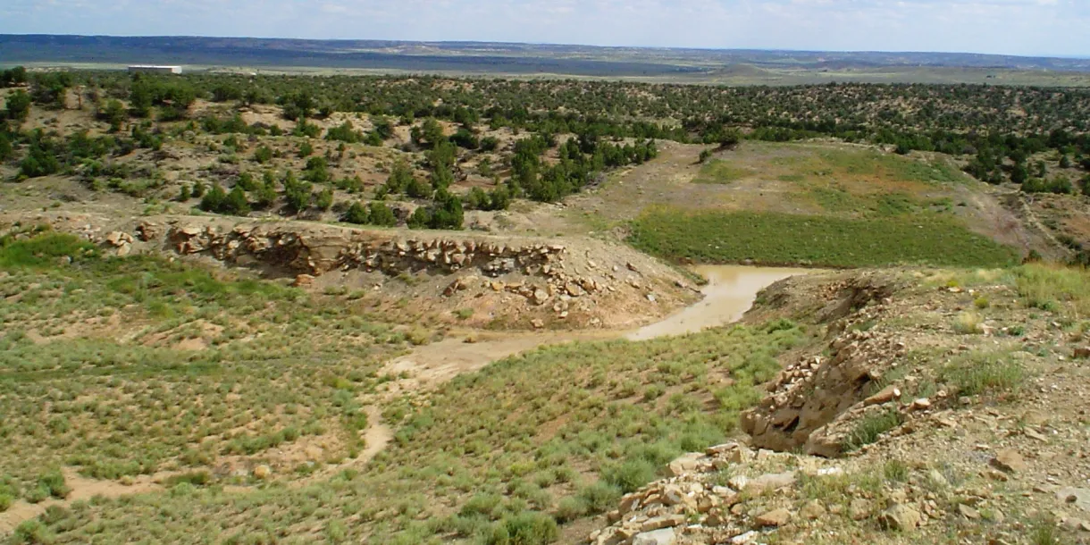
This 33 acre (13.3 hectare) GeoFluv design was made to remedy the repeated failures of traditional terrace, berm, and down-drain reclamation. An additional challenge was that only minimal backfill material was available, since the site was a hard-rock quarry, and that necessitated that the GeoFluv design be constructed entirely of fill, i.e., no cut surfaces!
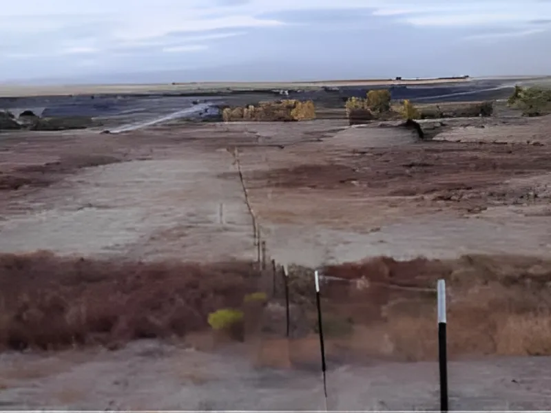
(Image courtesy of Water & Earth Technologies, Fort Collins, CO.)
The light-colored area in the background is representative of the post-mining surface and the dark area is two and one-half of six GeoFluv subwatersheds that comprise the design as they appeared about 90 percent through construction (the linear features are not part of the final design). The partially-completed site received three consecutive days of heavy rains immediately before this image was taken and did not present any erosion problems.
The immediate project cost was 37 percent less than would have been required using the traditional methods that the site was familiar with. The project was completed only three months after the consultant was invited to prepare a proposal.
GeoFluv Approach Versus the Traditional Approach.
GeoFluv Approach
Creates a natural-looking landscape with ridges that transition from convex to concave slopes, and small sub-watersheds containing water channels that merge into larger water channels.
Traditional Method
Long, single gradient slopes that are subject to erosion. A range of techniques are employed to slow erosion, including contour banks, rock drains, and sediment ponds.
Why GeoFluv?


Specialized Design
GeoFluv is a trademark for a specific fluvial geomorphic landform design algorithm

Precision Solutions
The GeoFluv approach recognizes the critical importance of natural landforms to gain community acceptance, which is critical to project permit issuance.

Quality Results
The landform will not erode, will be suitable for re-establishing local flora and fauna at a low initial cost, and not require costly long-term maintenance that satisfies bond release criteria
GeoFluv Reviews

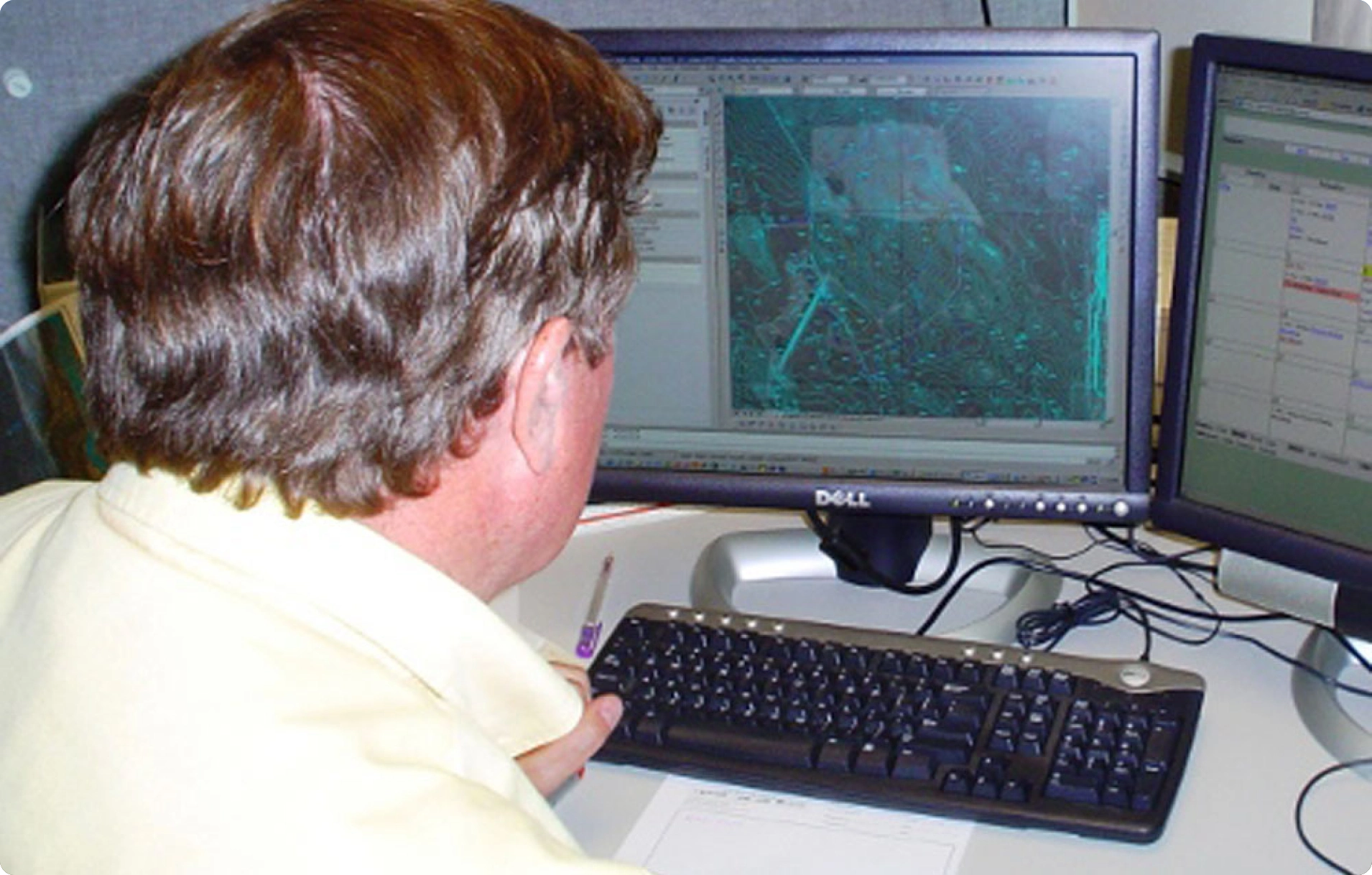
Natural Regrade offers a quick method to design stable, natural-acting, maintenance-free post-mining surfaces.
New Fluvial Geomorphic Approach Wins "National" and "Best of the Best" Reclamation Awards.
Coal company gets award for reclamation. It uses the best technology currently available to control erosion and sedimentation.
More Customer Testimonials and Awards Before & After
Abandoned Coal Mining Project
At Log Creek Church, over 70 acres of acid-producing waste have been sequestered, and forested.
Truck and Shovel Coal Mine
The "Special Wildlife Enhancement Feature" included beautiful sandstone cliffs for swallow.